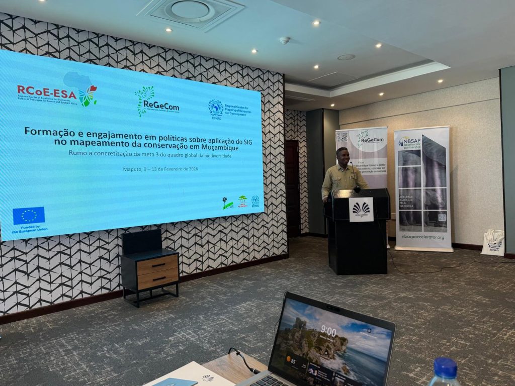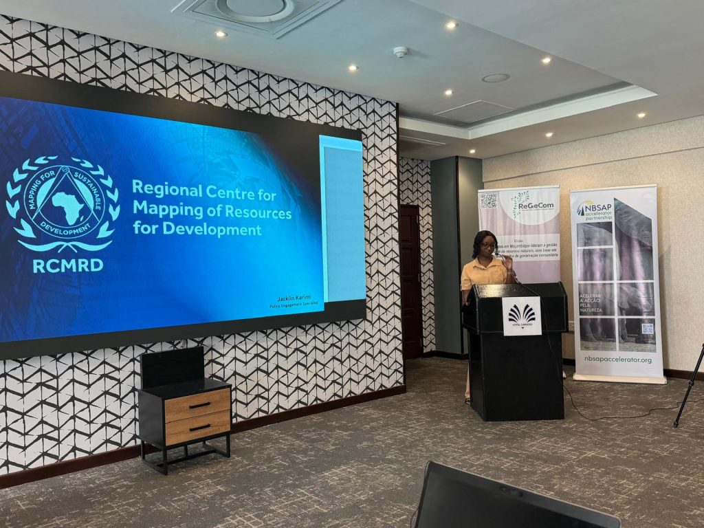
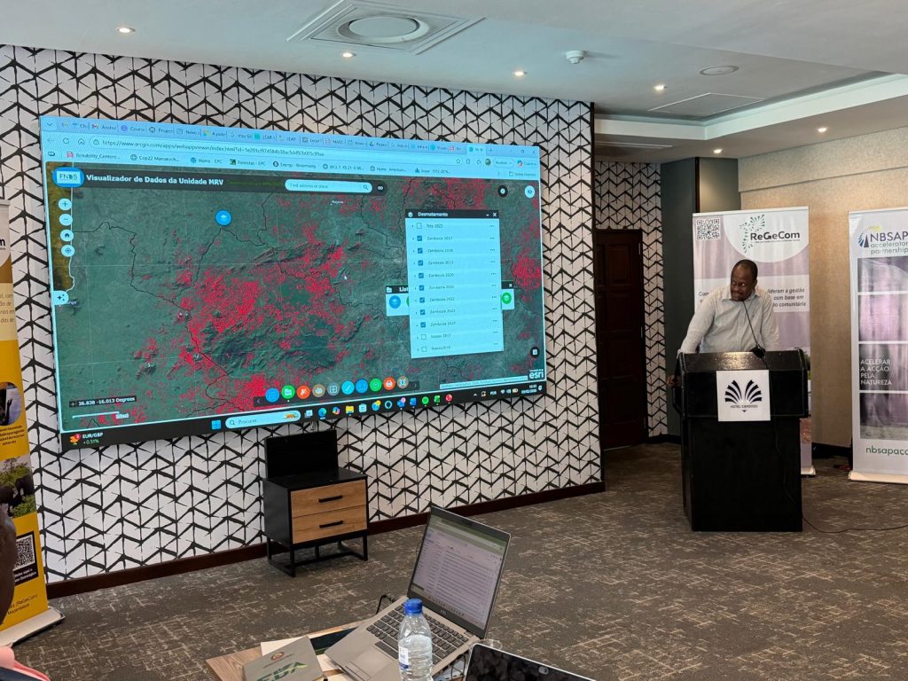
This week, 9th to 13th February ReGeCom, in collaboration with RCMRD- Regional Centre for Mapping of Resources for Development/Regional Centre of Excellence (RCoE), is hosting a Training and Policy Engagement Workshop on the application of GIS in conservation mapping in Mozambique, bringing together government institutions, and ReGeCom members in Maputo.
This initiative contributes directly to 3 of the Global Biodiversity Framework, while reinforcing national capacity for biodiversity monitoring, reporting, and planning through geospatial tools.
But beyond technology, this training speaks to something fundamental for ReGeCom: strong #communitygovernance as the foundation of conservation.
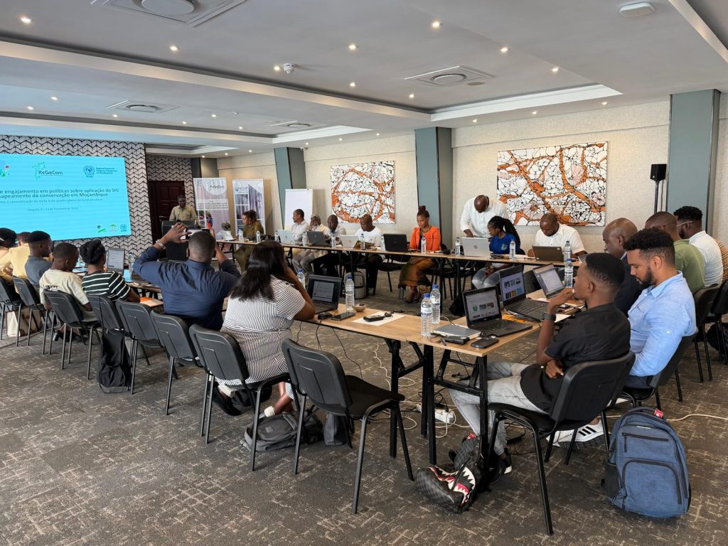
One of the pillars of ReGeCom’s strategic plan is strengthening the capacity of our members and partners to lead conservation processes locally. Building skills in GIS, remote sensing, and biodiversity data management is part of ensuring that conservation decisions are informed not only by national datasets, but also by community knowledge and community-generated data.
For ReGeCom, the ambition is clear: communities should not only participate in conservation, they should map, monitor, and manage their natural resources directly. So, this training is the path to respond to this ambition.
We thank the Government of Mozambique, RCMRD, Unidade MRV, the European Union, and all partners and ReGeCom members participating in this important learning journey.
Together, we are building the capacity needed for people and nature to thrive, through community-led conservation informed by data and grounded in governance.